I am using Logstash's geoip filter to get geo_points from my access logs.
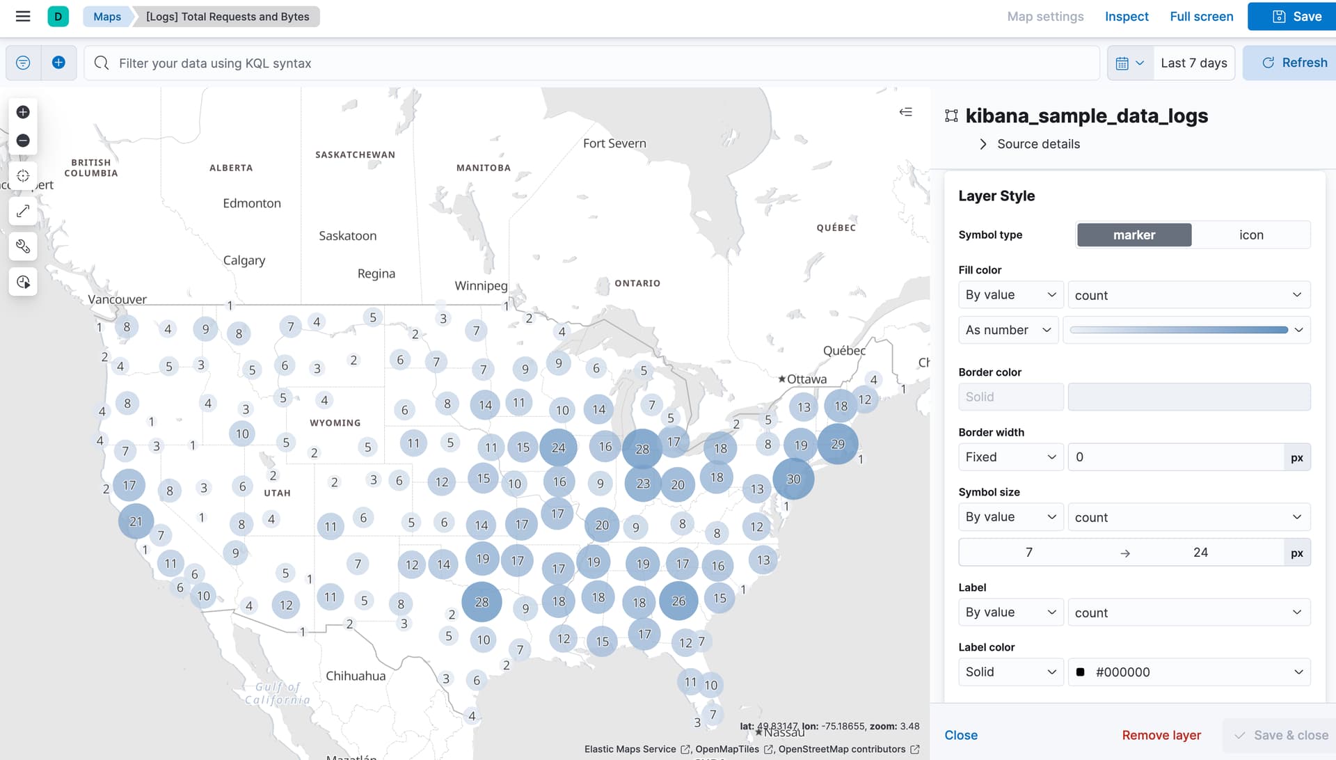
I am plotting these points on Maps, but the size of the points are all uniform.
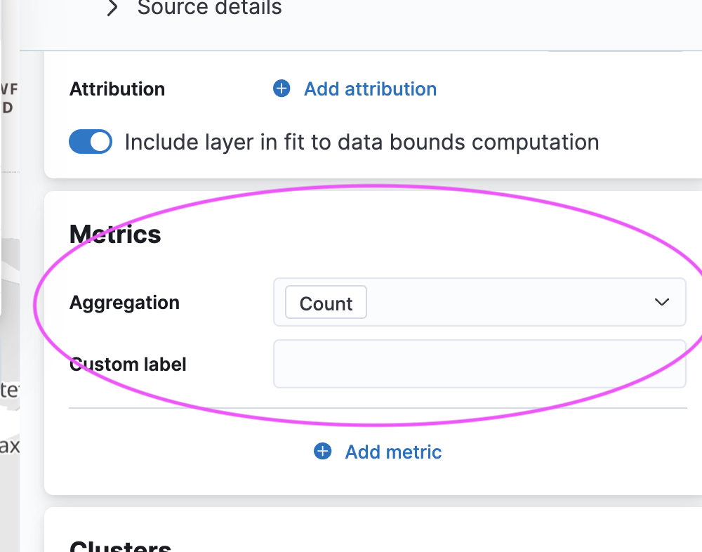
In the options, I have found Symbol size, but it only shows the numeric data on the field.
How can I change the size by the number of unique records in geoip.location (or geoip.country, geoip.city_name)?