creating the filter for heat map geolocation is awesome, but how do i delete a filtered area?
There doesn't appear to have the the same UI as noted below.
I am running 8.3.3

Any ideas?
Cheers,
Matt
creating the filter for heat map geolocation is awesome, but how do i delete a filtered area?
There doesn't appear to have the the same UI as noted below.
I am running 8.3.3
Any ideas?
Cheers,
Matt
Your screen shots are showing 2 different draw modes.
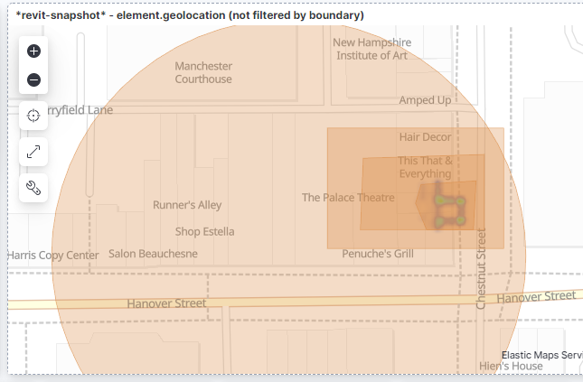
The first shows drawing features on map to create spatial filters
The second shows drawing features on map to index into Elasticsearch
These 2 draw modes result in different results.
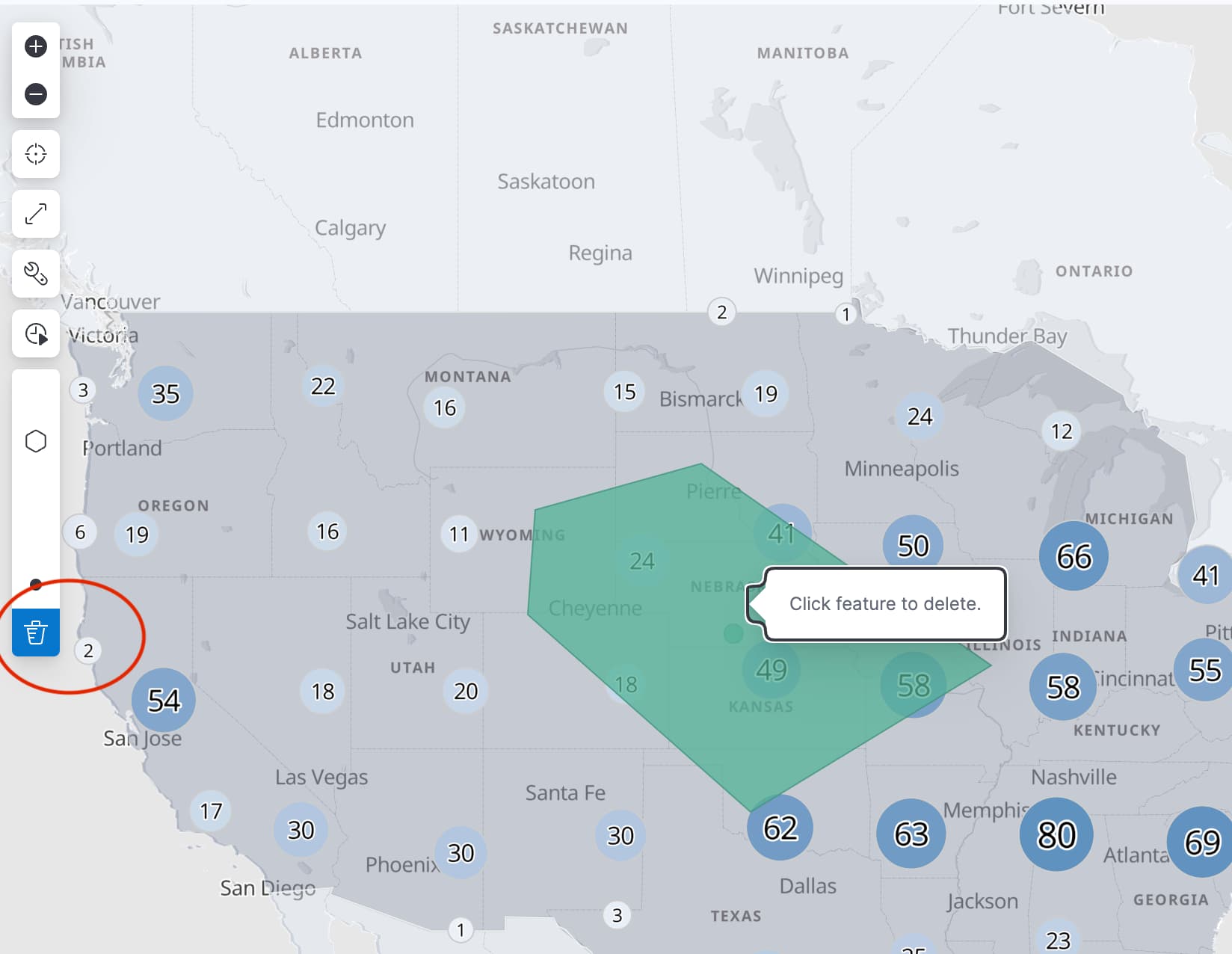
Drawing features to create filters adds a filter pill to the search bar. To remove the filter pill, click the "x"
Drawing features on map to index into Elasticsearch adds a new document in Elasticsearch. To remove the feature, click the "trash can" icon in the draw tools and then click the feature you wish to delete.
thanks @Nathan_Reese I come from a CAD/BIM background, so was looking for a way to delete the boundary polygon by selecting it. I didn't realise it added a filter to the top of the screen. Thanks for clarifying.
© 2020. All Rights Reserved - Elasticsearch
Apache, Apache Lucene, Apache Hadoop, Hadoop, HDFS and the yellow elephant logo are trademarks of the Apache Software Foundation in the United States and/or other countries.